A bike trip plan you can
actually ride.
Fuel dead-zones, acclimatization, permits, daily distances and the ride-or-ship call — the hard logistics riders dig out of a hundred forum threads, packaged into one ride-ready plan with a PDF and Excel.
Why not a generic trip planner?
Generic tools plan sightseeing. Riders need fuel, altitude, permits and road reality — verified, route-specific, and in one place.
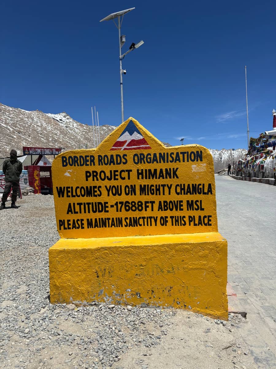 ⛰️
⛰️Acclimatization, scheduled
Ladakh enforces a 48-hour acclimatization before it even issues your permit. We build in Day-1 rest, AMS guidance and Diamox notes — the thing generic planners completely ignore.
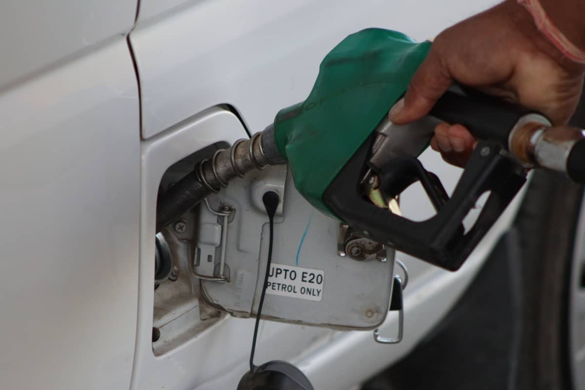 ⛽
⛽Fuel & range planner
We know the no-fuel dead-zones (Tandi→Leh ~365 km, Reckong Peo→Kaza ~200 km) and your bike’s real mountain range — so we tell you exactly how many spare litres to carry.
 🪪
🪪Permits done right
For Indians it’s the online EDF now — not the outdated “ILP at the DC office” half the internet still repeats. We get the permit, the fee and the steps right.
 🚚
🚚Ride it or ship it?
Short on time? We compare riding from zero vs parcelling the bike to a hub (IRCTC) — plus the June–September season window and the buffer days you actually need.
Plan your ride
India only · we estimate the days, pacing and buffer for you.
What you get
- A day-by-day ride plan with realistic distances + overnight stops
- Fuel stops, dead-zones & exact spare-fuel litres for your bike
- Permit steps (EDF), acclimatization rest days & a weather check
- A PDF to carry + an Excel day-sheet with gear, med-kit & spares checklists